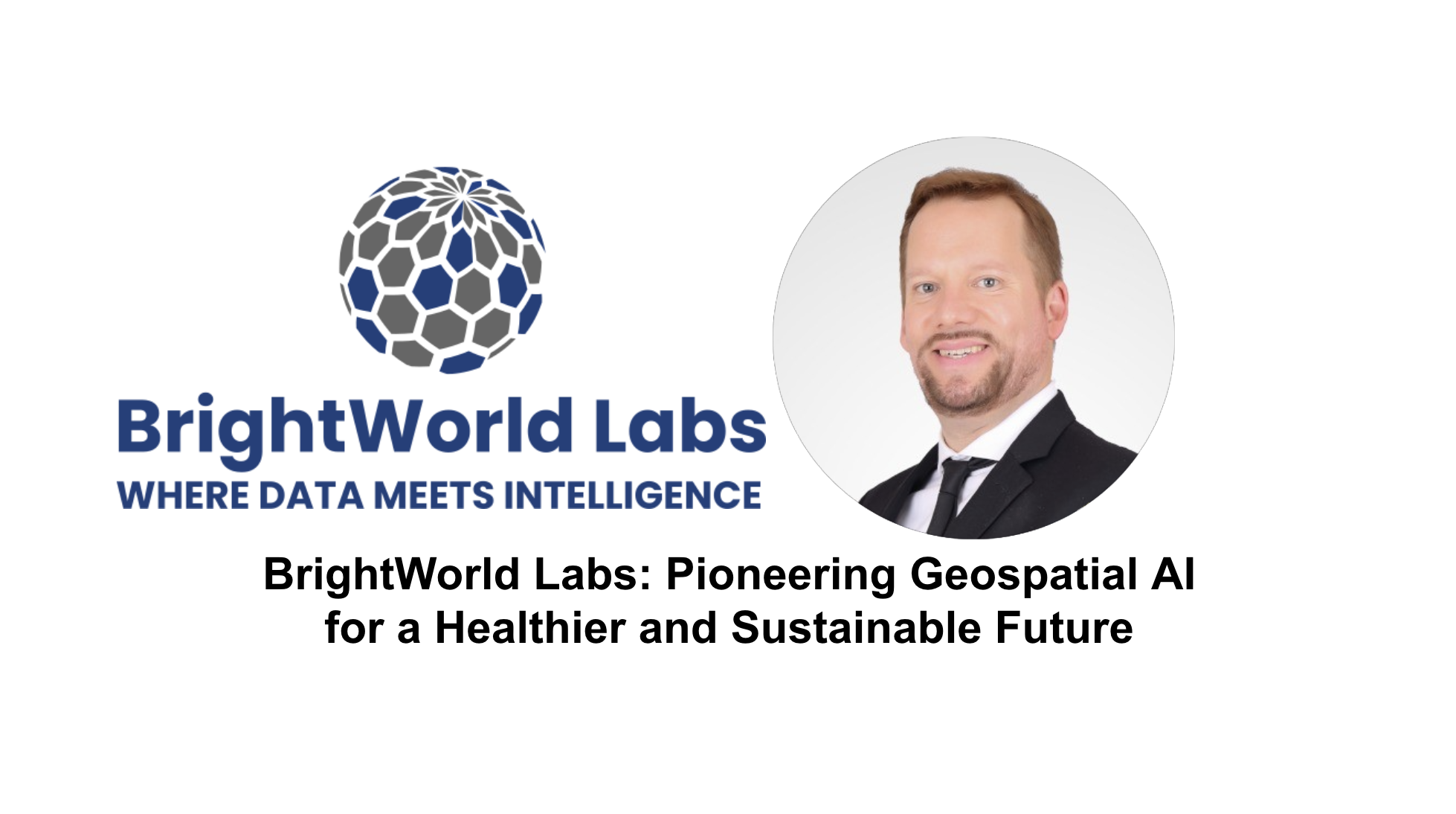
Founder and President of BrightWorld Labs
In this interview, we delve into the vision, innovation, and projects driving BrightWorld Labs to the forefront of geospatial AI. From disease prediction to environmental monitoring, BrightWorld Labs is leveraging advanced AI and geospatial technologies to tackle today’s most pressing public health and environmental challenges. Discover how their cutting-edge techniques, ethical AI practices, and strategic collaborations are shaping global health outcomes and sustainability solutions.
1. What is BrightWorld Labs’ long-term vision and mission? How do you envision the company contributing to the field of geospatial AI?
At BrightWorld Labs, we address public health and environmental challenges using advanced AI and geospatial technologies. We specialize in turning complex datasets into actionable insights, combining our deep expertise in geospatial and AI to tackle today’s challenges. While innovation in merging these fields is still limited, we have an extensive applied research background and a profound understanding of both. We propel organizations forward with cutting-edge disease prediction, environmental monitoring, and urban planning solutions, significantly impacting global health and environmental outcomes. Let’s collaborate and leverage these technologies to solve our most complex challenges and build a more sustainable, healthier future together!
2. Can you describe some specific AI techniques or algorithms BrightWorld Labs employs in its projects? How do you ensure the ethical and responsible use of AI?
We use various machine learning algorithms, including SVMs, random forests, and deep learning models tailored to the specific data and task. Our solutions are not limited to one model type, and we employ multimodal AI to merge diverse datasets like imagery, text, structured and unstructured data, and ground-based sensors. For example, we’ve used AI to predict disease outbreaks by combining environmental and public health data, and we detect oil spills using mask RCNN models for object detection and segmentation. We are committed to ethical AI, prioritizing fairness, accountability, and transparency in all our solutions.

3. What types of geospatial data do you work with most frequently? How do you handle the challenges of dealing with large and diverse datasets?
We work with various geospatial data, including satellite imagery, LiDAR, and demographic data, leveraging location to fuse these datasets. Our comprehensive expertise extends to applying machine learning to diverse data types like tabular data, text, and imagery. In one project, we combined high-resolution satellite imagery with public health data to predict disease outbreaks throughout the African continent while maintaining local precision. We also developed the Oncilla Geoparsing API to extract location information from text. We efficiently process large datasets using cloud platforms like Google Earth Engine. We offer end-to-end solutions, from data retrieval to AI-driven analytics and advanced visualizations, ensuring decision-makers receive actionable insights.
4. Can you give us an example of a current project you are most excited about?
One of the projects I’m most excited about is our work with the recently established Abdullah Al Salem University in Kuwait, where we are helping establish a new data science and AI excellence research center. Our role is comprehensive, guiding them on everything from computing hardware and software infrastructure to faculty hiring, outreach, and research project development. We’re also assisting them with developing partnerships with local and international organizations to ensure the center becomes a hub for innovative research and business incubation in Kuwait. I’m incredibly excited about the opportunity to help shape Kuwait’s research initiatives to align with the country’s vision for sustainability and innovation.
5. How do you collaborate with clients to understand their needs and develop tailored solutions? Can you share some examples of successful client partnerships?
We collaborate closely with our clients, beginning with a detailed discovery phase to understand their specific challenges and goals. For example, in a project with the World Health Organization, we developed an AI solution that combined environmental data with disease surveillance, providing actionable insights to improve public health interventions. Our geospatial data science and AI expertise and extensive applied research background uniquely position us to partner effectively with domain experts to understand and solve our most critical and complex challenges.

6. How do you stay current with the latest advancements in AI and geospatial technologies? Are there any emerging trends or technologies that you are particularly interested in?
I actively engage with the global AI and geospatial communities, attend conferences, and read and publish research. I’m particularly excited about advancements in multimodal AI, where we combine satellite imagery, text, and sensor data to create more robust models for public health applications. This approach can drive innovations in disease prediction and environmental monitoring. Also, digital twins hold much promise when real-time data and AI information extraction create a virtual model of the environment, allowing for predictive analysis and human-in-the-loop scenario testing in areas like public health, urban planning, and climate resilience.
7. How does BrightWorld Labs integrate satellite data into geospatial analysis projects? Are there any specific satellite constellations or data types that you focus on?
At BrightWorld Labs, we are adept at integrating satellite data from diverse sources, such as NASA and ESA’s satellite ecosystems. Depending on the project’s goals, we are proficient at incorporating commercial providers for very high resolutions or sensors like SAR or LiDAR. For example, we’ve used multispectral imagery from Sentinel-2 and other ESA satellites on proofs of concept to monitor forest health and predict crop yields. Our custom solutions allow us to give clients real-time, actionable data for decision-making.

8. Can you discuss some of the specific remote sensing applications that BrightWorld Labs has been involved in? How do you leverage remote sensing data to address challenges like agriculture, environmental monitoring, or urban planning?
Our remote sensing work includes using satellite imagery to detect oil spills and climate data to predict disease spread. Given the complexity of today’s challenges, we believe solutions must be customized, incorporating diverse data sources, advanced analytics, and human expertise. Our research background allows essential collaboration with other domain experts to address these issues successfully.
9. How does BrightWorld Labs position itself with space agencies and other organizations, and what are the benefits?
We consider ourselves data analytics experts. We utilize data providers like NASA and other space agencies and collaborate with end users like the World Health Organization, using satellite data to predict disease outbreaks. These collaborations give us access to vital data and resources, which allow us to develop more accurate, robust, comprehensive, and timely models. We aim to establish impactful technical solutions for improved global public health and environmental outcomes.
10. Does BrightWorld Labs collaborate with organizations or institutions based in the Gulf? How do these partnerships benefit your operations and projects?
BrightWorld Labs collaborates with Abdullah Al Salem University in Kuwait to establish a data science and AI excellence research center, guiding everything from computing infrastructure to faculty hiring and research development. This partnership strengthens our expertise while addressing the region’s enhanced environmental, public health, and sustainability challenges, which helps us develop solutions that can scale globally. Additionally, we’ve provided training for the National Bank of Kuwait, Burgan Bank, and Union of Investment Companies to leverage advanced data analytics and AI in banking and finance, empowering local industries with cutting-edge solutions.
11. What are your plans for BrightWorld Labs’ presence in the Gulf? Are there any specific markets or sectors that you are targeting for growth?
We will leverage our expertise in AI, geospatial technologies, and applied research in the Gulf to tackle critical challenges in the public health and environmental sectors. The challenges in these sectors are complex but essential to solve through technology. We are open to strategic collaborations with domain experts and other technology providers to build innovative, scalable solutions. Together, we can harness cutting-edge technologies to overcome our most pressing challenges and create a sustainable future. Let’s join forces and turn bold ideas into transformative action!

Alex Cresniov, Founder of SpaceTech in Gulf
About the author: Passionate in the Space industry with significant expertise in Policy Making, Global Socio-Economic Assessments, and DeepTech Analytics.
Email: alexei@spacetech-gulf.com
