

How is GUtech integrating space technologies and geospatial data into its engineering and applied science programs?
Since its establishment in 2007, GUtech has implemented GIS across most of its programmes. Applications of geospatial data have been taught since then in Geosciences, Environmental Engineering, Sustainable Tourism, and Urban Planning. In addition, Remote Sensing is also offered within Applied Geosciences.
Recently, we joined the EUMETCast service offered by EUMETSAT to gain access to near-real-time raw data captured by several Earth observation satellites, including geostationary satellites such as Meteosat and polar-orbiting satellites such as Metop, Jason, and Sentinel-3. This data will be used in student projects and graduation theses.
What role does international collaboration, particularly with German and European institutions, play in advancing Oman’s capabilities in Earth observation and space applications?
As mentioned, we’ve received generous support from EUMETSAT to access their excellent EUMETCast service. In addition, we have a strong collaboration with ZfT (Zentrum für Telematik e. V.) in Würzburg, and AGH University of Krakow.
Cooperation with institutions that have decades of deeply rooted experience helps facilitate knowledge transfer, enabling us to deliver state-of-the-art solutions in research and to develop training programmes.
Beyond data access, our researchers are actively developing advanced frameworks using Sentinel-1 Synthetic Aperture Radar (SAR) data provided by the European Space Agency, leveraging its all-weather, day-and-night imaging capabilities to bypass cloud-cover limitations and monitor surface changes with high precision.
How can satellite data and geospatial technologies contribute to addressing sustainability challenges such as water scarcity, urban planning, and environmental protection in Oman?
This is actually a hot topic. Given the country’s expanded land area of over three hundred thousand square kilometers, combined with a relatively limited population, data related to these vast desert regions can only be collected efficiently via satellites.
For example, although this is an arid region, flash floods do occur even in uninhabited areas. Detailed information about these events can provide access to water as a vital natural resource, allowing the estimation of runoff volumes and the identification of potential areas for groundwater recharge. Many satellites, such as GPM, observe the atmosphere while also estimating precipitation for all such events. Other satellites, like GRACE, help observe gravity changes caused by groundwater recharge.
Delineation of active wadis is very important for urban planning. In addition, changes in Digital Elevation Models (DEMs) due to urbanization can be captured more efficiently through careful analysis of EO satellite data. This also helps distinguish between passive/dormant and active wadis, supporting urban planners in their decision-making.
Regarding environmental applications, they cannot all be listed here. However, one example is algae plumes in the Gulf of Oman, which pose a serious danger to Reverse Osmosis desalination plants, the source of most domestic water production. Another example is methane leakage from gas networks, which span hundreds of kilometers and are strongly affected by cracks caused by land subsidence, especially due to oil and gas exploitation.
This aligns with GUtech’s established research track record in Wadi Flash Flood (WFF) management. Through field investigations, drone surveys, and rainfall-runoff modeling, our researchers analyze sediment dynamics and infiltration processes to mitigate flood risks and maximize water retention in arid urban environments.
What opportunities exist for GUtech students and researchers to engage in applied innovation projects related to space technologies?
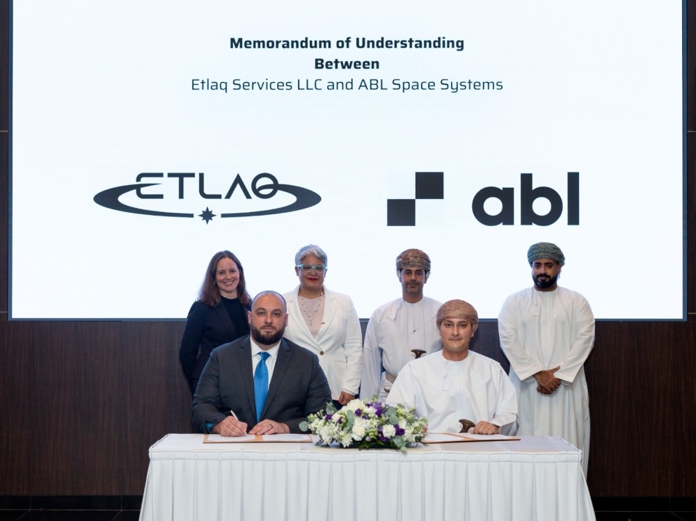
At GUtech, we try to get involved with all student initiatives in Oman. For example, our students are currently being prepared for two projects: the Race 2 Space competition, organized by A.R.T. and Etlaq; and the first Omani CubeSat with AI, built by students in cooperation with the Oman Space Programme, OmanLens, SQU, UTAS, and MTC.
Furthermore, our students already have two student clubs: the Astronomy Club and the Space Club. We support both clubs in realizing projects that address students’ passion for space. For example, the Space Club at GUtech organized a workshop on how to build and programme HiptaSat in the lab recently.
We also offer courses through our partnership with edX to teach students about space technology. For example, GUtech offered the course “Space Mission Design and Operation” taught by Prof. Claude Nicollier earlier this year to 50+ students.
How do you see GUtech contributing to Oman’s broader Vision 2040 goals through innovation and research in emerging technologies?
GUtech is guided by the commitment of the Sultanate of Oman and its Vision 2040, which is itself aligned with the Sustainable Development Goals. As part of its mission, GUtech fosters creative and critical thinking to advance research and innovation.
In the space sector, we strive to follow all space technology-related events, regionally and internationally, to stay up to date on technical and business developments. With its agile management approach, GUtech continuously works on revising its current programmes, participating in initiatives, and sharing business opportunities with our alumni and graduate students.