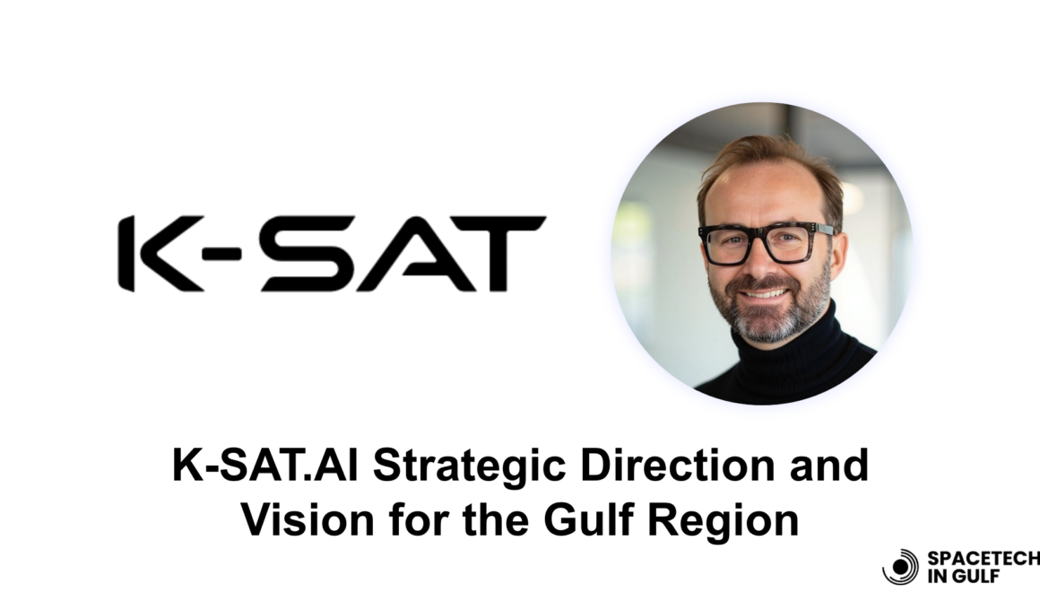
As Saudi Arabia accelerates its digital transformation under Vision 2030, the role of real-time geospatial intelligence has never been more critical. At the forefront of this evolution is K-SAT.ai, a Saudi-registered EO-AI company redefining how satellite data is used for national-scale decision-making. In this exclusive interview, Will Tyler, Vice President at K-SAT.ai, shares how the company is shaping a future where space-powered insights drive sustainability, infrastructure, and innovation across the Kingdom—and beyond.
How would you describe K-SAT.ai’s strategic vision over the next 5 years, particularly in emerging markets like Saudi Arabia?
K-SAT.AI’s strategic vision is grounded in enabling real-time, data-driven decision-making at national scale. Over the next five years, we are focused on scaling our integrated EO and AI-powered platform across key sectors such as infrastructure, environmental management, and urban development, particularly within emerging markets like Saudi Arabia. Our platform is being designed not just as a technological solution, but as a key enabler of national digital transformation. As a Saudi-registered company with strong local ownership and leadership, our roadmap is fully aligned with Saudi Arabia’s long-term ambitions under Vision 2030.
How does K-SAT.ai tailor its offerings to align with national visions such as Saudi Arabia’s Vision 2030 and the country’s sustainability goals?
Vision 2030 is about transformation, sustainability, and efficiency. K-SAT.AI enables these pillars by delivering actionable insights derived from satellite data fused with localised information streams. From monitoring GHG emissions and land use changes to tracking heritage site development and megaproject execution, our platform is tailored to support Saudi Arabia’s sustainability objectives. We provide custom AI models like the GigaPILOT platform that integrate seamlessly into existing infrastructure to ensure environmental stewardship and project quality.

What makes K-SAT.ai’s approach to integrating EO and AI distinct from other players in the geospatial intelligence space?
K-SAT.AI stands out by fusing EO data with on-the-ground sensor input and contextual national datasets, delivering near-instant insights through a single harmonised platform. Our ability to generate 2D, 3D, and 4D digital twins allows clients to visualise, simulate, and optimise in real-time. What differentiates us further is our commitment to local customisation—we don’t offer a one-size-fits-all product but rather build tailored models aligned to specific national needs, supported by Saudi domain expertise.

Can you share a use case where K-sat’s platform transformed decision-making or operational efficiency in infrastructure, energy, or urban planning?
A flagship example, undertaken under strict NDA conditions, involved the deployment of a custom AI solution to support real-time project tracking, safety monitoring, and logistics coordination for a high-profile national development. The platform integrated multi-satellite imagery, ground data, and AI-driven simulations to reduce delays and cost overruns. Through live dashboards and predictive analytics, project teams were able to proactively manage operations and align outcomes with national transformation goals.

With real-time data processing being a key feature, how does K-sat ensure accuracy, reliability, and security in high-stakes applications like disaster response or national security?
K-SAT uses a multi-tiered approach: we combine high-resolution EO data from trusted satellite constellations with AI models rigorously trained on validated datasets. Data integrity is safeguarded through blockchain-led audit trails, and critical systems are deployed using secure, sovereign cloud infrastructure. While we currently operate as a small, agile international team, our projected growth plan includes the integration of Saudi nationals into roles spanning data science, geospatial analysis, systems engineering, and client engagement into key technical and operational roles, ensuring long-term alignment with national capability building and cultural relevance.
How do you see EO and AI contributing to economic diversification in Saudi Arabia? Where do you think the highest growth potential lies—agriculture, energy, or urban development?
All three sectors present high-value opportunities. Urban development, given the scale of Saudi giga-projects, is a prime area where K-SAT’s real-time monitoring can reduce risk and support sustainability. Agriculture benefits from EO-driven water resource management and crop health insights, while energy, especially renewables, is enabled by predictive maintenance and environmental impact tracking. Our view is holistic: EO-AI acts as a multiplier for smart growth.
How are you engaging with Saudi Arabia’s tech-savvy youth population—are there training programs, internships, or partnerships with universities in the pipeline?
Yes, we are currently developing a talent programme, still a work in progress, in collaboration with leading Saudi universities and think tanks. While not yet formalised, we anticipate initial implementation phases to begin within the next 12–18 months, subject to strategic alignment with key partners and institutional readiness. This initiative aims to include internships, satellite data analytics bootcamps and hackathons centred around national challenges. We are also exploring the potential for long-term academic research partnerships to support AI model development aligned with Vision 2030, though no formal agreements have been finalised at this stage.

With projections of the global space economy reaching $1 trillion by 2040, how is K-SAT.ai positioning itself to capture a share of this market?
K-SAT is positioning itself as the downstream enabler of the space economy. Rather than building satellites, we focus on unlocking value from the data they generate. Our fusion platform is designed to be satellite-agnostic, scalable and ready for cross-sector integration. By aligning with strategic investors and public sector stakeholders and embedding ourselves in the Saudi innovation ecosystem, we aim to capture a meaningful slice of this expanding market.
Can you speak about a recent collaboration in the Gulf that exemplifies your ecosystem approach across government, academia and private industry?
A recent example is our tri-lateral MoU signed at BIBAN 24 in Riyadh between K-SAT, Saudi Excellence Co., and Seedford & Partners. This partnership brings together government facilitation, investment strategy and technical innovation to co-develop EO-AI use cases for national digital transformation. The focus is on Megaproject monitoring, environmental forecasting and sovereign data strategies.
What barriers still exist to broader adoption of EO-AI solutions in the Middle East, and how is K-sat working to overcome them—technologically, commercially, or culturally?
The main barriers are data sovereignty concerns, lack of awareness about EO capabilities and integration challenges with legacy systems. K-SAT addresses these by offering sovereign-hosted solutions, extensive onboarding and training programmes, and modular integration with existing infrastructure. We also invest in outreach to demystify EO-AI and show tangible ROI.
How are you fostering trust and transparency in EO data for clients making mission-critical decisions—especially public sector entities?
Transparency begins with traceability. We use verifiable data sources and provide clients with audit trails, source referencing, and confidence scoring for every insight delivered. Regular validation exercises with client teams ensure continuous calibration of outputs. Our partnership model includes co-development, ensuring buy-in and clarity from day one.
What trends do you foresee in satellite analytics as AI models become more sophisticated, and how is K-sat preparing for this next wave of innovation?
We foresee hyper-personalisation of models, the rise of autonomous monitoring systems, and increased use of generative AI for scenario simulation. K-SAT is investing in model explainability, federated learning for privacy-preserving insights and partnerships with sensor providers to enhance multimodal data fusion.
Are there emerging technologies such as edge computing, IoT, or blockchain—that you see as complementary or integral to K-sat’s future offerings?
Absolutely. Edge computing allows us to process data closer to where it’s collected, reducing latency in critical operations. IoT is a natural partner, enabling us to ingest live data from field assets, while blockchain supports trust frameworks and data provenance. Our roadmap includes integrating all three to reinforce our real-time and trustworthy intelligence claims.
What’s your personal vision for K-SAT.ai’s impact in the region by 2030—and how do you measure success both commercially and socially?
By 2030, I envision K-SAT as the geospatial operating system for Saudi Arabia’s transformation. Commercial success will be measured by adoption across key ministries, recurring SaaS revenue, and our contribution to national GDP through productivity gains. Social success is about empowering local talent, protecting environmental assets, and embedding geospatial thinking into public policy. We aim to be the bridge between data and decision.

Alex Cresniov, Founder of SpaceTech in Gulf
About the author: Passionate in the Space industry with significant expertise in Policy Making, Global Socio-Economic Assessments, and DeepTech Analytics.
Email: alexei@spacetech-gulf.com
