


A lack of precision is dangerous when the margin of error is small, and nowhere is this more critical than in agriculture, the very bedrock of human sustenance.
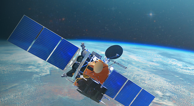
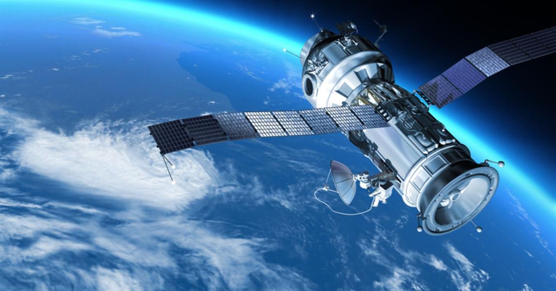
In our rapidly evolving world, the demand for food continues to escalate as the global population continues to explode, while resources like arable land and fresh water face increasing strain. This necessitates a shift towards smarter, more efficient farming practices – a transformation increasingly powered by remote sensing indices. These powerful tools, derived from satellite and aerial imagery used mostly in space technology, are transforming the way we manage our farmlands, ensuring greater efficiency, sustainability, and ultimately, food security.
You can find our previous article on agriculture here.
Imagine a future, now becoming a reality, where farmers can precisely monitor the health of their crops from space, optimize irrigation to minimize water waste, and predict yields with remarkable or near-perfect accuracy. This level of insight is unlocked by a suite of remote sensing indices.
At the forefront of these indices is the Normalized Difference Vegetation Index (NDVI). By measuring the difference between near-infrared and red light reflected by plants, NDVI provides a clear, quantitative picture of vegetation health and density. A high NDVI value indicates lush, photosyntynthetically active crops, while a low value may signal stress, disease, or bare soil. With this index, farmers can easily detect areas where problem areas where more resources need to be deployed to improve crop yield, and monitor crop output accurately, ultimately improving yield and revenue. Recent research consistently highlights NDVI’s foundational role in crop health monitoring, enabling farmers to identify problem areas early and apply targeted interventions, from adjusting irrigation to pest control. These targeted interventions also improve efficiency and reduce waste for farmers, applying effective solutions to the problems at hand rather than a generalized approach that, in turn, leads to waste.
In this article, we are using LC60 AI images for demonstration purposes.

But NDVI is just the beginning of a set of powerful analytical arsenals. The Normalized Difference Moisture Index (NDMI) is crucial for assessing vegetation moisture content, directly aiding in drought monitoring and efficient irrigation management. Complementing this, the Normalized Difference Water Index (NDWI) goes further, detecting water bodies and moisture levels in both soil and vegetation, essential for comprehensive water resource mapping and preventing destructive waterlogging. The ability to monitor water status remotely is particularly vital in regions facing water scarcity, allowing for smarter allocation and conservation.

For agricultural landscapes with sparse vegetation or in early growth stages, where soil background can interfere with traditional NDVI readings, the Modified Soil Adjusted Vegetation Index (MSAVI) minimizes the influence of soil brightness, providing more accurate vegetation analysis. Furthermore, for a deeper, more nuanced dive into plant health, the Normalized Difference Red Edge Index (NDRE) specifically analyzes chlorophyll content by utilizing the “red-edge” spectral band. This allows for the detection of subtle changes in plant health and nutrient deficiencies, particularly nitrogen – a crucial nutrient for agricultural productivity, impacting plant growth, yield, and overall health – that might be missed by NDVI, especially in dense canopies or later growth stages.
Furthermore, farmers can now utilize the Chlorophyll Index to directly measure chlorophyll concentration, providing even more precise insights for farmers into photosynthetic activity and stress levels, which is vital for optimizing fertilizer applications.
Collectively, these indices offer a powerful, multi-faceted suite of tools for monitoring various aspects of agricultural health and the surrounding environment. They provide critical data for precision agriculture, allowing farmers to optimize resource use, reduce environmental impact, and increase yields. Modern advancements in satellite technology, including higher spatial and temporal resolutions (daily or even multiple daily revisits), coupled with the integration of Artificial Intelligence (AI) and Machine Learning (ML), are further enhancing the power of these indices. AI can process vast amounts of satellite data, identify complex patterns, and generate predictive models for yield estimation and automated disease detection (Number Analytics, 2025).
From large-scale monitoring of crop health and yield prediction to the precise management of irrigation and nutrient application, remote sensing indices are not just improving farming practices; they are actively paving the way for a more sustainable, resilient, and efficient future of global food production.
To answer the question – Is Precision Agriculture possible? – The answer is yes. As the continuous evolution of these technologies promises even greater precision in the near future, farmers will be adequately equipped to face environmental challenges and improve their revenue, battling climate change and population growth with unprecedented foresight and control. You can find more case studies in this article.